-
23
Feb
Extensive winter storm to stretch from Plains to Northeast
About a week after a storm slammed areas from the Plains to the Northeast with snow and ice, as well as blizzard conditions in the Midwest, another far-reaching system will strike over the next few days.
The storm will take shape in the central U.S. later Wednesday into Thursday. Hazardous ice buildup from freezing rain will likely develop across a swath from northern Texas to central Pennsylvania. This includes central Oklahoma, southern Missouri, southern Illinois, as well as central and southern Ohio. This icing zone will result in perhaps the most significant impacts from this storm, with buildup possibly exceeding one-half inch in some places.
On the northern side of the ice, light to moderate snow — totals up to 6 inches — will be possible in parts of the Midwest.
As the storm tracks into the Northeast and strengthens a bit late Thursday into Friday, a much larger snow threat will evolve. Totals of 12 inches could pile up in sections of upstate New York, northern New England and southeastern Canada.
Areas farther south, such as portions of the Interstate 95 corridor, could see some light accumulations of ice, sleet or snow before precipitation possibly changes to rain. Based on the latest forecast model guidance early Wednesday morning, it looks like most of the I-95 corridor from the Maine-Canada border to Philadelphia should mostly see snow and ice, with mainly rain from south of Philadelphia to Virginia.
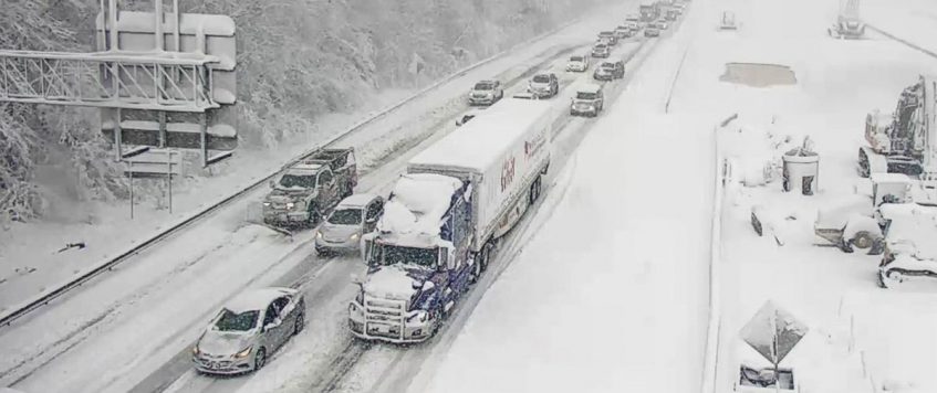
Major interstates in the potential impact zone include but are not limited to I-35, I-40, I-44, I-55, I-57, I-70, I-75, I-76, I-80, I-81, I-90 and I-95. Impacts will include a variety of issues ranging from reduced speeds to major slowdowns and long-term road closures.
Expect at least intermittent disruption to business operations, freight flows and supply chains. Additionally, the storm could slow down loading and unloading of freight at intermodal ramps and air cargo may be delayed.
Scattered to widespread power outages are possible due to the combination of snow, ice and wind. In areas of highest ice accumulation, power outages could last for days or weeks.
Major lanes of concern
• Interstate 35 from Dallas to Oklahoma City.
• Interstate 40 from Oklahoma City to Little Rock, Arkansas.
• Interstate 44 from Wichita Falls, Texas, to St. Louis.
• Interstate 64 from St. Louis to Evansville, Indiana.
• Interstate 70 from St. Louis to Hagerstown, Maryland.
• Interstate 80 from Toledo, Ohio, to Teaneck, New Jersey.
• Interstate 95 from Philadelphia to the Maine-Canada border.by Nick Austin at Freightwaves

- +1-717-626-1107
- sales@pnglc.com