-
26
Jan
Weekend nor’easter could slam I-95 corridor
There’s an increasing likelihood of a major winter storm — a classic nor’easter — slamming parts of New England and the Canadian Maritimes over the weekend.
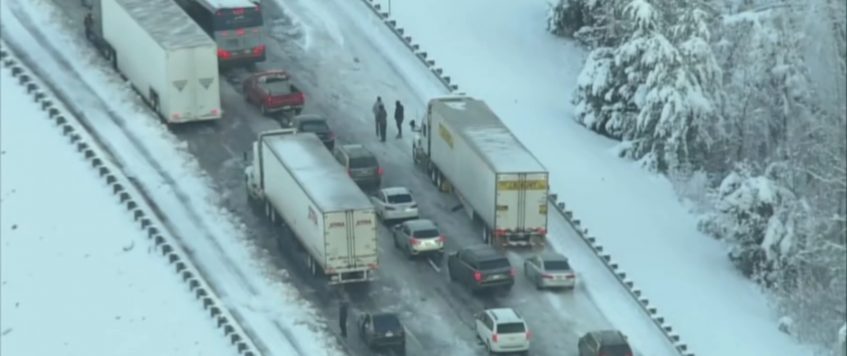
The storm will hit from Friday night through Sunday, impacting truckers along the Interstate 95 corridor.
As of Wednesday morning, forecast model guidance was showing the worst conditions would hit eastern New England, including the Boston area, as well as eastern Long Island. New York City is not yet part of the high-risk zone. Other major cities in the zone are Hartford, Connecticut; Providence, Rhode Island; and Portland, Maine.
A lot of the energy that will fuel this storm is still thousands of miles from the East Coast but will rapidly strengthen by Friday night. Heavy snow totals of 12-plus inches, plus wind gusts possibly exceeding 40 to 50 mph, are possible for the areas above. This could result in significant business, supply chain and transportation disruptions.
Further south and west, in places like New York City, Philadelphia, Baltimore and Washington, there’s more uncertainty regarding storm impacts. Carriers looking to head to these freight markets should pay attention to forecast updates. A slight shift in the potential storm track can make a big difference in outcomes.
A track close to the coast will affect the bulk of the I-95 corridor, while a track further off the coast will only impact the northern portion of the corridor, eastern New England.
Issues for truckers could range from reduced speeds to major slowdowns and possible long-term road closures.
Business operation disruptions would likely be moderate to major over the weekend, lingering into next week in some areas. In the most impacted locations, workers may experience difficulties making it to work due to harsh travel conditions. Additionally, look for delays in air cargo and loading or unloading of freight at intermodal ramps. Scattered power outages are also likely in the zone of highest impact.
As of early Wednesday afternoon, the National Weather Service had not issued any winter weather alerts in the Northeast.
By late Saturday and Sunday, the storm could produce heavy snow and high winds in Canada, mainly across portions of New Brunswick, Nova Scotia, Prince Edward Island and Newfoundland.
Major lanes of concern
• Interstate 95 from Washington to the Maine-Canada border.
• Trans-Canada Highway in Charlottetown, Fredericton and St. John’s.by Nick Austin at FreightWaves

